Haley Hight
Senior GIS Analyst
Haley Hight compares geographic information systems to “a giant puzzle that you’re working toward a solution for.”
As Freese and Nichols strategically expands its development of GIS tools for clients and career opportunities for GIS staff, Haley is leading the way as a senior GIS analyst, project manager and technical leader.
And she’s doing it while pursuing a master’s degree and serving in the U.S. Air Force Reserves as a Mission Systems Operator. She also recently received her GISP certification.
“The perception of GIS and our roles as analysts is shifting from us simply creating visualizations into us being experts at managing all aspects of GIS for a project,” Haley said. “We know the ins and outs of how the GIS works, as well as the technology. Now, our responsibility is to develop big-picture plans or road maps to help our clients achieve their goals.”
Trey Shanks, Infrastructure Management Group Manager said Haley “embodies the early success of our initiative to improve our GIS services. In Haley, we now have a GIS leader who is engaging directly with clients for their GIS needs.”
A GIS career wasn’t where she was initially headed while pursuing a geology degree at the University of Texas at Arlington. But she capitalized on GIS undergraduate coursework and developed her GIS skills working for the City of Burleson, Texas, before joining Freese and Nichols in 2022.
What types of projects do you typically work on?
When people hear GIS, they think we make these marvelous maps that show a lot of information. Really, what we do deals with technology, data analysis and strategic planning. We’re working with clients to develop solutions to GIS challenges or problems that they’re having and get them in a better place. That’s part of our values here at Freese and Nichols, and ultimately, our goal is to create that relationship where they’re coming to us as the trusted advisor.
At the Esri User Conference in San Diego, we presented on a project to show how GIS helped the local transportation agency understand the condition of their bus stops, estimate the costs for improving those in poor condition and target their rehab projects.
Our team developed a mobile GIS-based application to streamline the field data collection efforts and take photos, and we created a web-based GIS tracking dashboard for the client to view the data and provide feedback. This provided the information they needed to make informed choices and improve safety for the community.
Our presentation showcased a different way to perform functions that historically have been core to asset management, and you could see it really resonated with the audience.

Please describe your favorite projects so far.
I have really enjoyed developing the Abilene Five-Year GIS Strategic Plan, which is an example of how we’re providing direct GIS services to clients. This project combines GIS, project management and asset management to guide the City as it develops its GIS program with a roadmap of GIS-based objectives. We collaborated with the City to perform a GIS gap analysis, provide near-term recommendations that could be resolved quickly to bolster the GIS program, and develop the overall GIS strategic plan spanning five years. I have learned a lot from this project that I can apply to future work.
What is the most rewarding part of your job?
The most rewarding part of this job is seeing that the work that we’ve been doing is making the clients’ life better or easier, benefiting them.
The work we do really helps cities care for and manage their assets. This could range from utilities to staffing resources and technology. We are committed to helping cities provide exceptional service to their residents and the community.
What’s your favorite part about working at Freese and Nichols?
If I had to pick, it’d be the people. Getting to work with such a great team, having the support of others outside of our group, knowing that we have mentors and subject-matter experts available. There’s always someone you can go to. Also, working with such bright and intelligent people.
What opportunities have you had for continuous learning?
One way I have been able to continuously learn is having the opportunity to go back to school. Because I didn’t have formal training in GIS, I decided to return for my master’s. Freese and Nichols offers tuition assistance, allowing me to attend the University of Oklahoma part-time to get formal training in geospatial sciences, which puts me at the forefront of the new technologies.
Attending conferences, like the ESRI conference, being able to learn what others in the industry are doing, and my day-to-day all feel like opportunities to continuously learn.
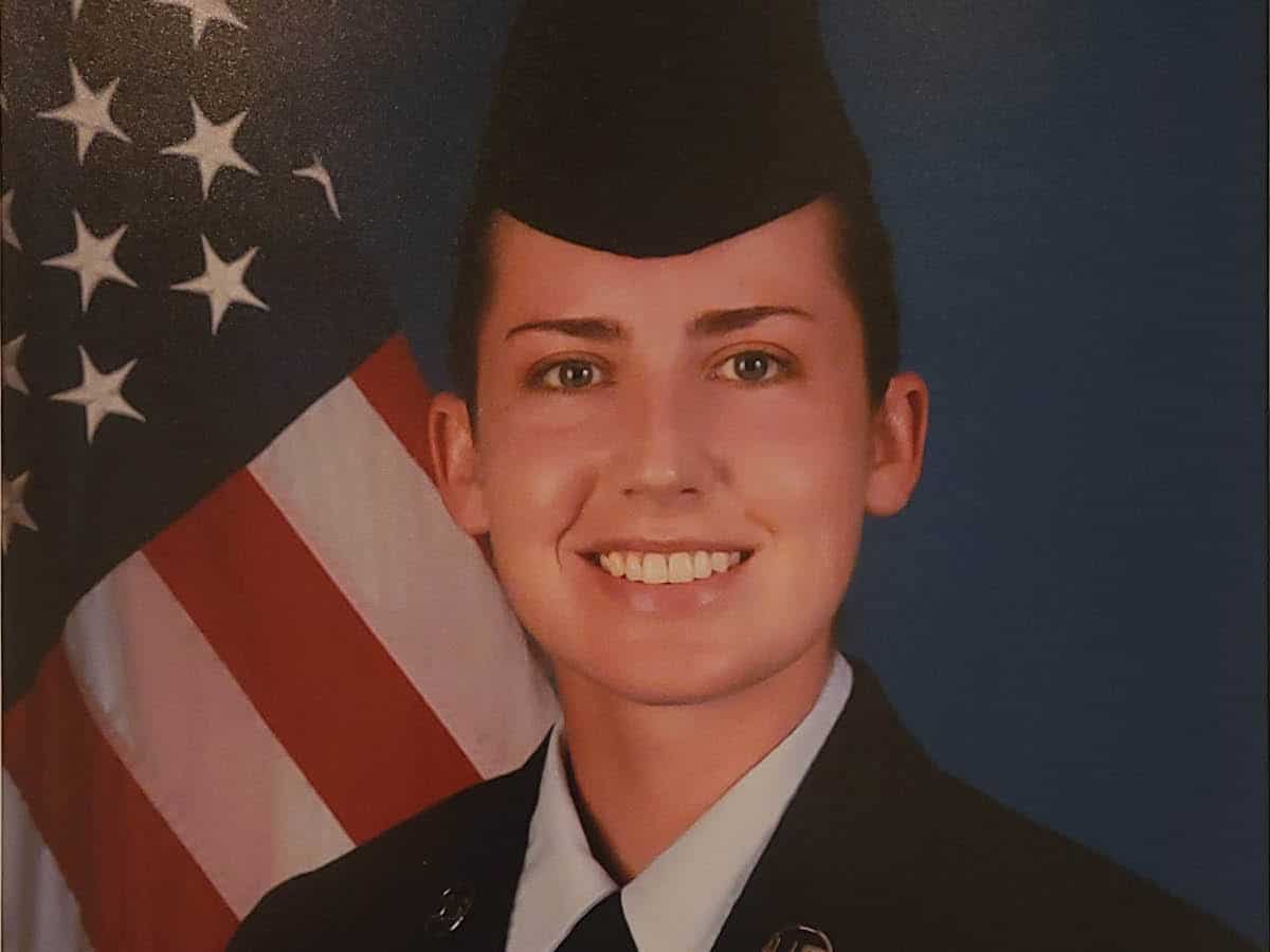
How does your work in the Reserves fit into your life professionally and personally?
I initially joined the Air Force Reserves because I wanted to be part of something larger and continue my family’s legacy of service. As a mission systems operator, I am tasked with monitoring radar and performing surveillance across a variety of environments, and often under high pressure.
This work has really helped me hone a variety of skills that translate well to my position at Freese and Nichols: I have learned to work quickly and accurately, maintain effective communication, and collaborate within a team setting. My work in the Air Force also has given me a sense of purpose and allowed me to be a part of a larger mission.
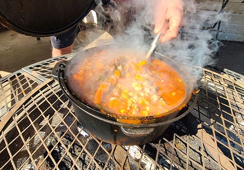
What do you like to do for fun?
My husband and I love to do outdoor cooking using Dutch ovens, cast irons or open fires to make meals. On the weekends we plan a big meal using outdoor- style cooking, preparing sides, entrees and desserts.
What’s your advice for young professionals?
Continuously learn, especially if you’re in any kind of technology-related field that evolves so rapidly. And know your software. Find someone who’s been in the field for a while, who’s done the things that you aspire to do, who can offer that advice and guidance as you work your way through and navigate that minefield. Also, enjoy what you do!
What is your big-picture goal for your career?
Long term, I would love to lead a group of GIS professionals and data analysts and be able to work on more diverse projects to provide those additional services to clients. It would be nice to be able to offer clients a full package, showing that we have a group of experts who can provide a variety of options to help them reach their goals.
